WorldmapPDF
World map with countries in color
View world maps and countries in HD and in different formats such as JPG, PDF, PNG. Maps in PNG format are often of better quality.


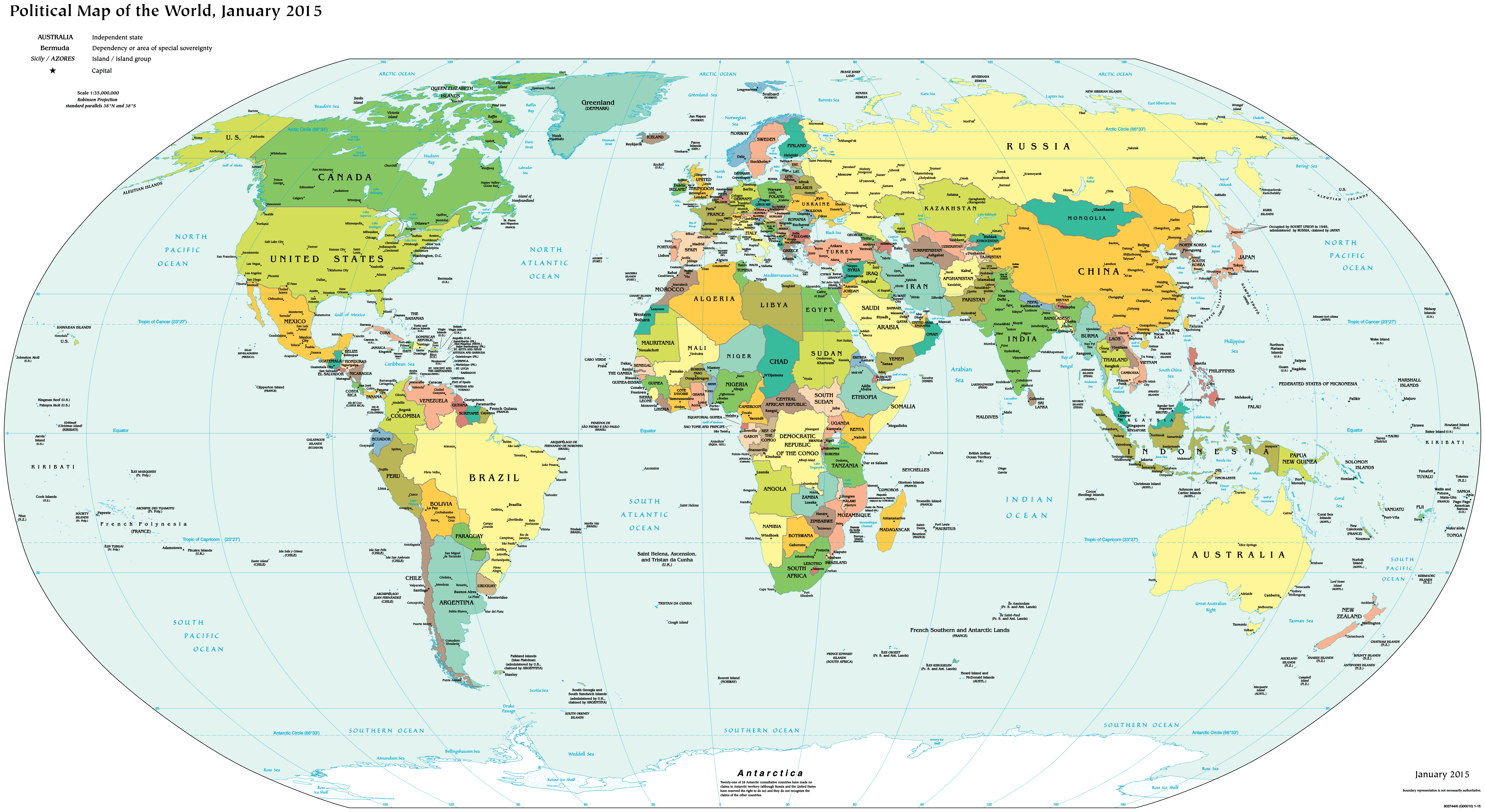
Political world map

Download: JPG (800 x 437 pixels) | JPG (3000 x 1641 pixels) | JPG (7693 x 4207 pixels) | PNG | PDF
Description: World map with colored country names, capitals, major cities, rivers, oceans and islands.
License: Royalty free
Author: US Government, Central Intelligence Agency
Source file: CIA World Fact Book - Political world (view)
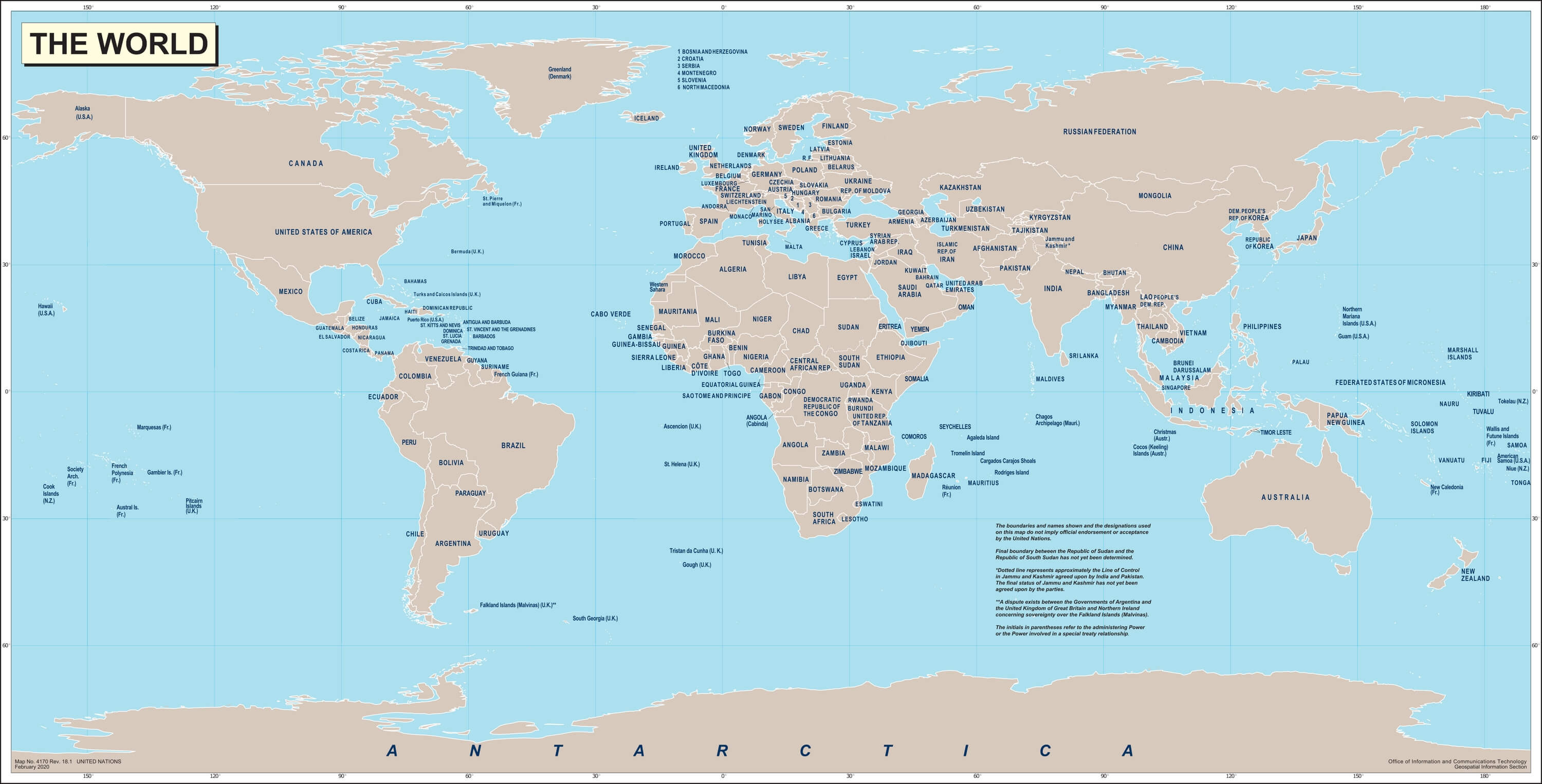
Description: World map with colored country names, capitals, major cities, rivers, oceans and islands.
License: Royalty free
Author: US Government, Central Intelligence Agency
Source file: CIA World Fact Book - Political world (view)
.svg)
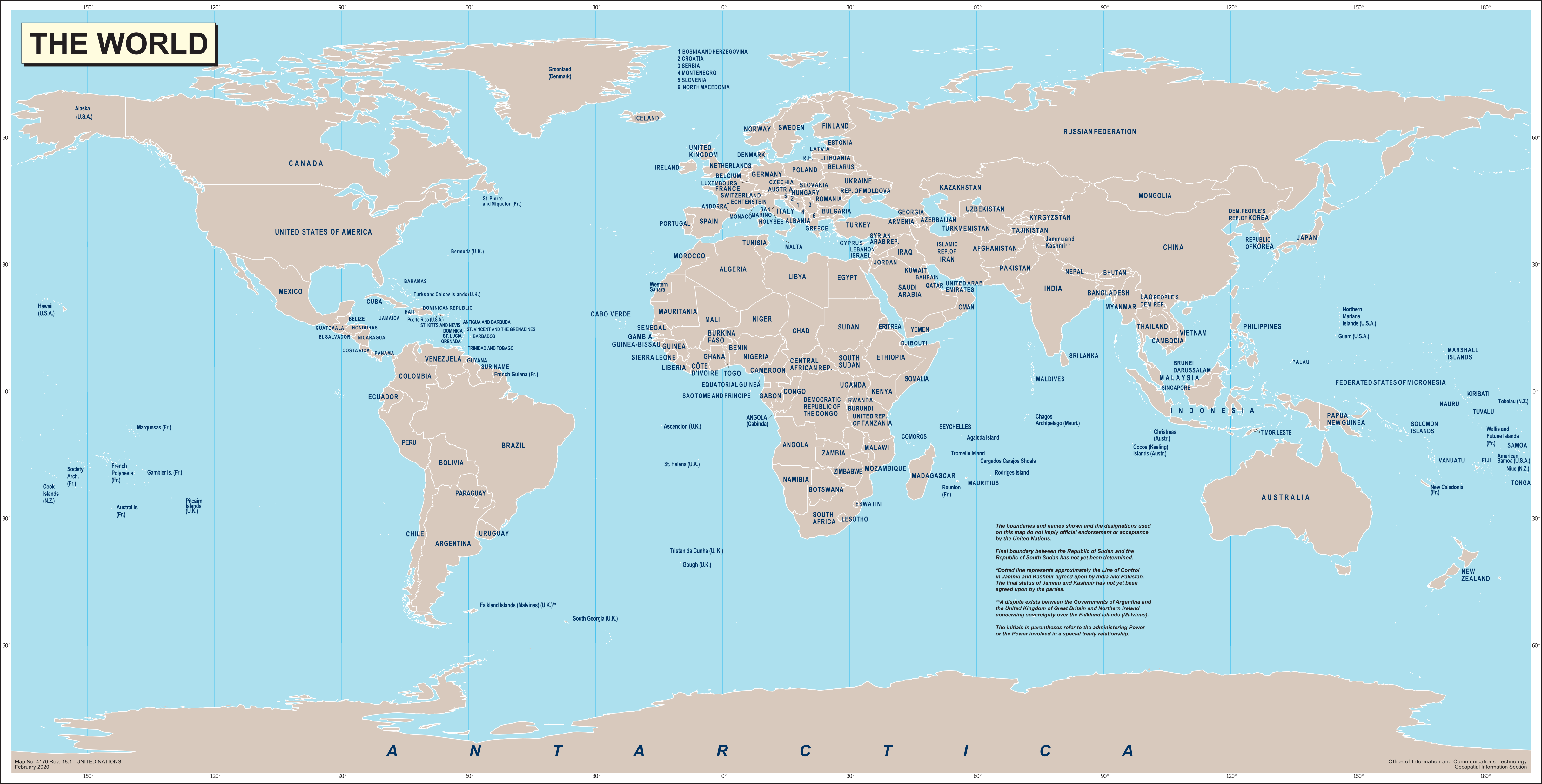
World map with country names

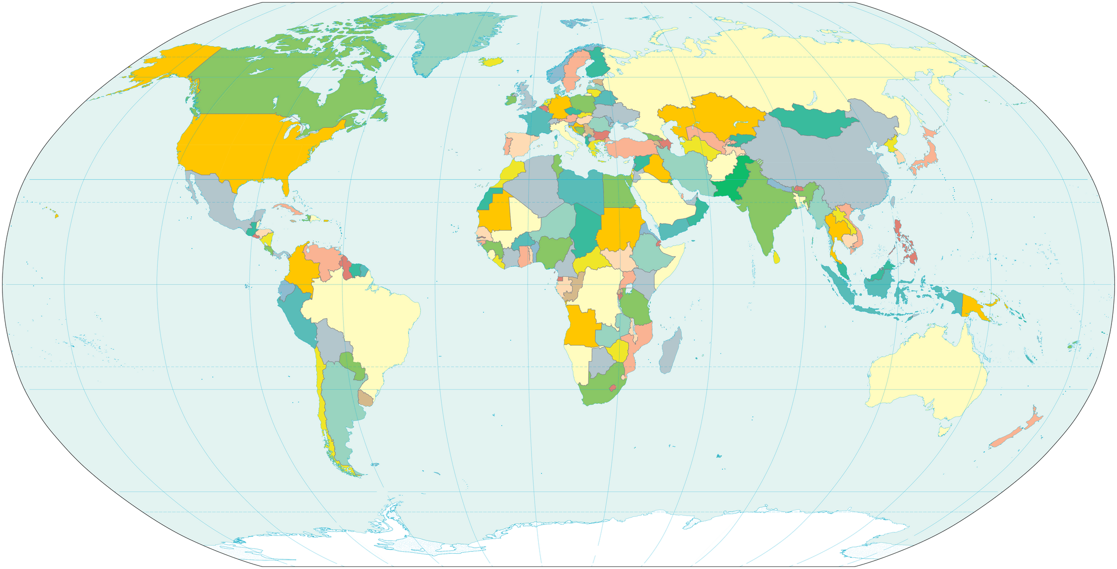
Blank world map with countries in color

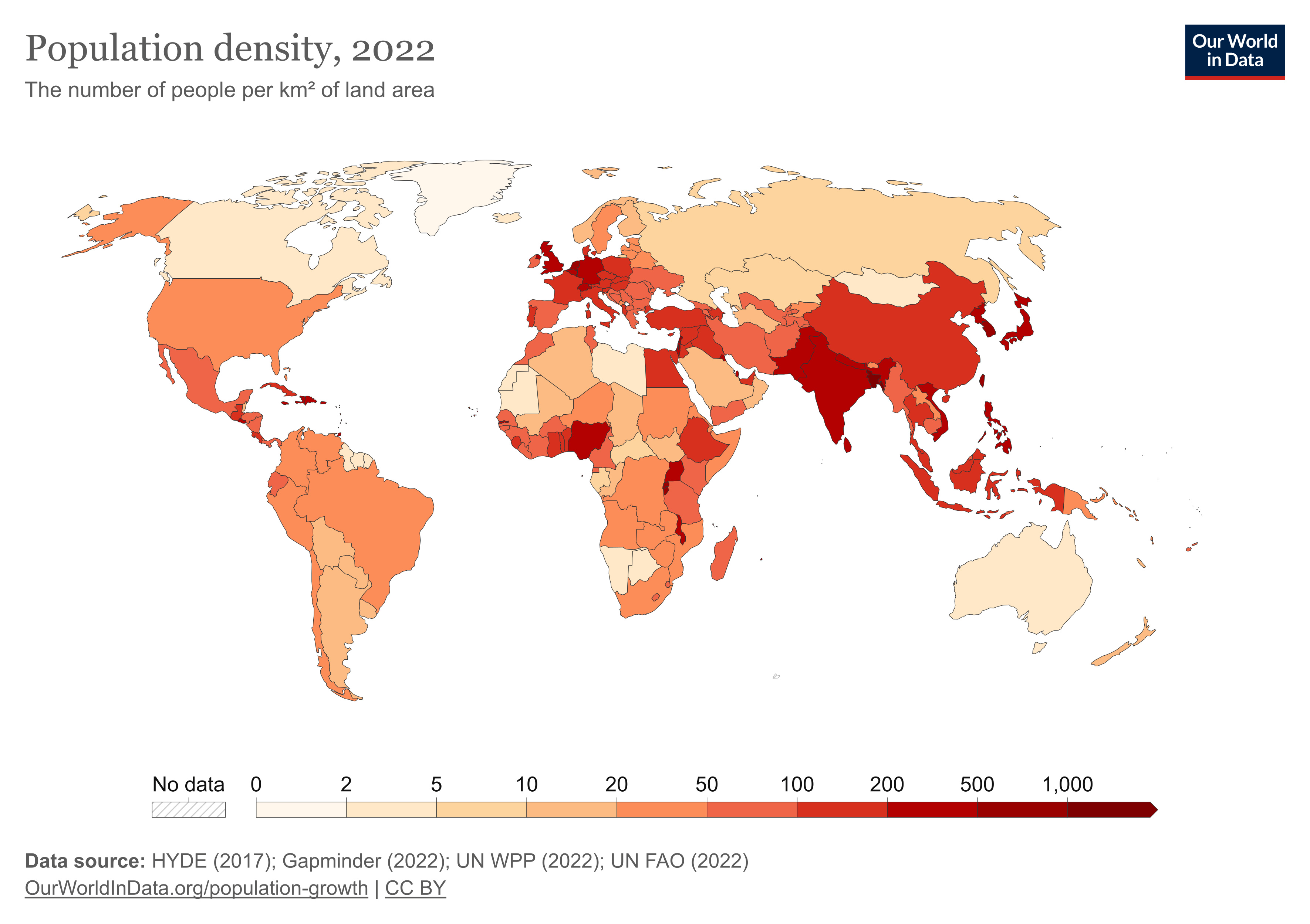
World map with population density
